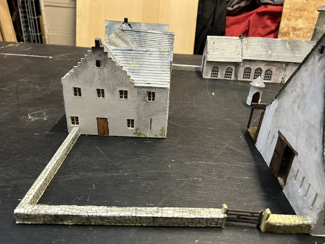
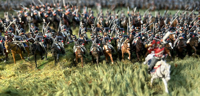
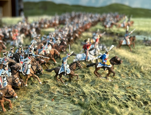
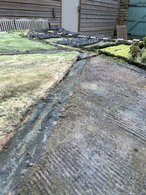
The Easter holidays has allowed for further progress on the model. Here are some shots of Frischermont showing progress:
Wednesday, 16 April 2025
Tuesday, 15 April 2025
East of Mont St Jean
I've been working on the area immediately East and Southeast of Mont St Jean. This is the area where Ghigny's Light Cavalry brigade was located. Only a few of the figures are on the model - these will follow in the coming days.
The modelling is based on the Siborne diorama, with pictures courtesy of the National Army Museum. A large ploughed field can be seen immediately East of the farm.
 |
| Overhead view of Mont St Jean at the bottom (North) of the picture, with South at the top of the picture |
 |
| Looking North |
 |
| Looking South |
 |
| looking East |
 |
| From Mont St Jean looking Southeast. |
 |
| The ploughed field. |
 |
| This area will contain most of Ghigny's Brigade. |
Sunday, 23 March 2025
Continued progress at Frischermont
I've been working quite hard to establish possibly the least well known farm complex at Waterloo, the farm of Frischermont. The building is off the Siborne model and was destroyed in the 1960s. The evidence is therefore circumstantial
 |
| This engraving is a little fanciful in so far as you cannot see the Lion's Mound from this view, but the general lay out is supported by the only known photograph of the farm below. |
| This picture |
 |
| Showing the building as depicted in the photograph below |
 |
| The tower |
 | ||
This photo is exceptionally useful
 |
 |
| This dwelling was constructed in the late 19th Century and is irrelevant to the 1815 plan. The round well looks original. |
 |
| Useful detail on the Eastern side of the farm. The ornate roof window looks late 19th Century. |
 |
| This map shows how Frischermont sits in relation to the Samhain hamlet, La Haye farm and Papelotte |
 |
| The dwelling on the North side |


