La Haye Farm and the Chateau of Frischermont lay at the eastern end of the battlefield, just beyond Papelotte (already complete).
The difficulty with modelling these farms is that neither is on the Siborne model and both were either partially (La Haye) or completely (Frischermont) destroyed, leaving behind only some evidence of what they looked like.
This entry details the modelling of La Haye Farm; a subsequent post will look at Frischermont. This Google Earth shot (orientated from the south) shows Papelotte and la Haye in relation to each other from the air:

Some of what we see now at La Haye Farm is modern, such as the large grey roofed barn to the East.

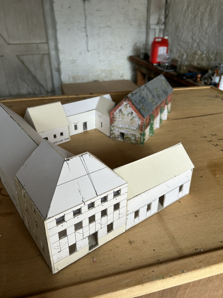
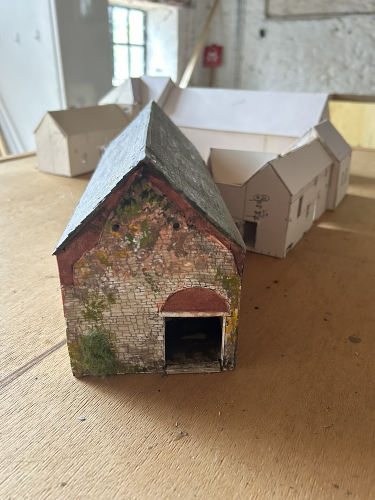
In close up, La Haye Farm consisted of a barn adjacent to the farm lane (shown in blue); this barn lies at an oblique angle to the other farm buildings which were arrayed in an open square.
This aerial photograph shows the gable end of the obliquely positioned barn:
Siborne’s plan (orientated south to north) of the battlefield shows La Haye Farm as follows:

The oblique barn can be clearly seen.
A different map by Craan shows the same oblique barn with the rest of the farm as an open sided courtyard.


La Haye Farm was burnt in the early 20th century before being rebuilt. This photo looking from East to West shows the farm after the fire:

Here are some Google earth street view shots of the obliquely positioned barn:
 |
| This detail shows buttresses on the oblique barn, looking north |
 |
| The shed with the grey roof to the right of the barn wasn't there in 1815 |
 |
| The oblique barn looking south. As mentioned, the shed in the foreground wasn't there in 1815. |
 |
The farmhouse
|
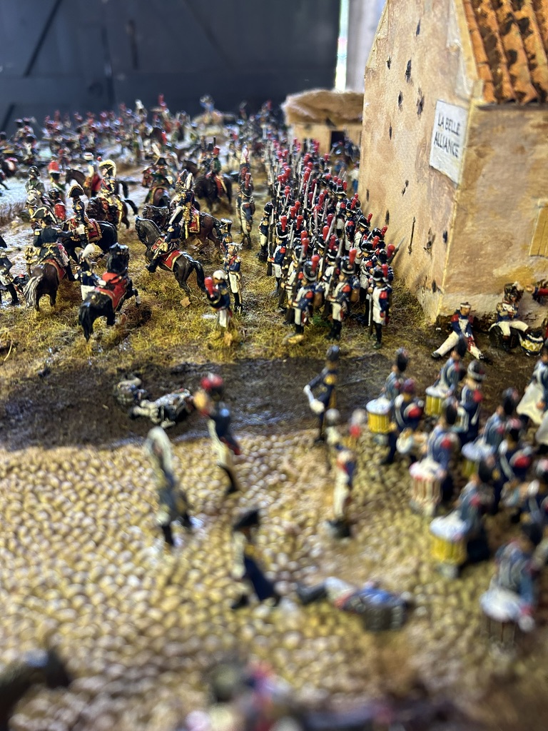
The story of the battle on the eastern flank involved four strong-points: from east to west, the Château of Frischermont, the village of Smohain and the two farms of La Haye (not to be confused with La Haye Sainte in the centre of the field) and Papelotte.
The Smohain brook ran through the village and there were two main areas of woodland – around Papelotte and Frischermont. To the north the ground rose up to the ridge, and along this ridge was a road. Tracks crossed this road and led down to Papelotte, La Haye and Smohain.
To the south of the position the ground rose less steeply so that all the strong points apart from Frischermont were in a valley, along which ran another road.
Here are some early shots of the farm as constructed by my father:
 |
| The farmhouse |