Construction at Plancenoit continues unabated and the south side of the village is beginning to take shape. This part of the village sits astride the road that runs parallel with the tributary of the Lasne that runs towards the south-east, joining the main Lasne brook on the other side of the hill.
The buildings have been bedded in to the ground, but the scenery itself still needs a lot of work to get to the right tone. I've included some comparative pictures from the Siborne model by kind permission of the National Army Museum.
The first picture shows the buildings before they are glued on. The cascading building was sitting too low in the ground.
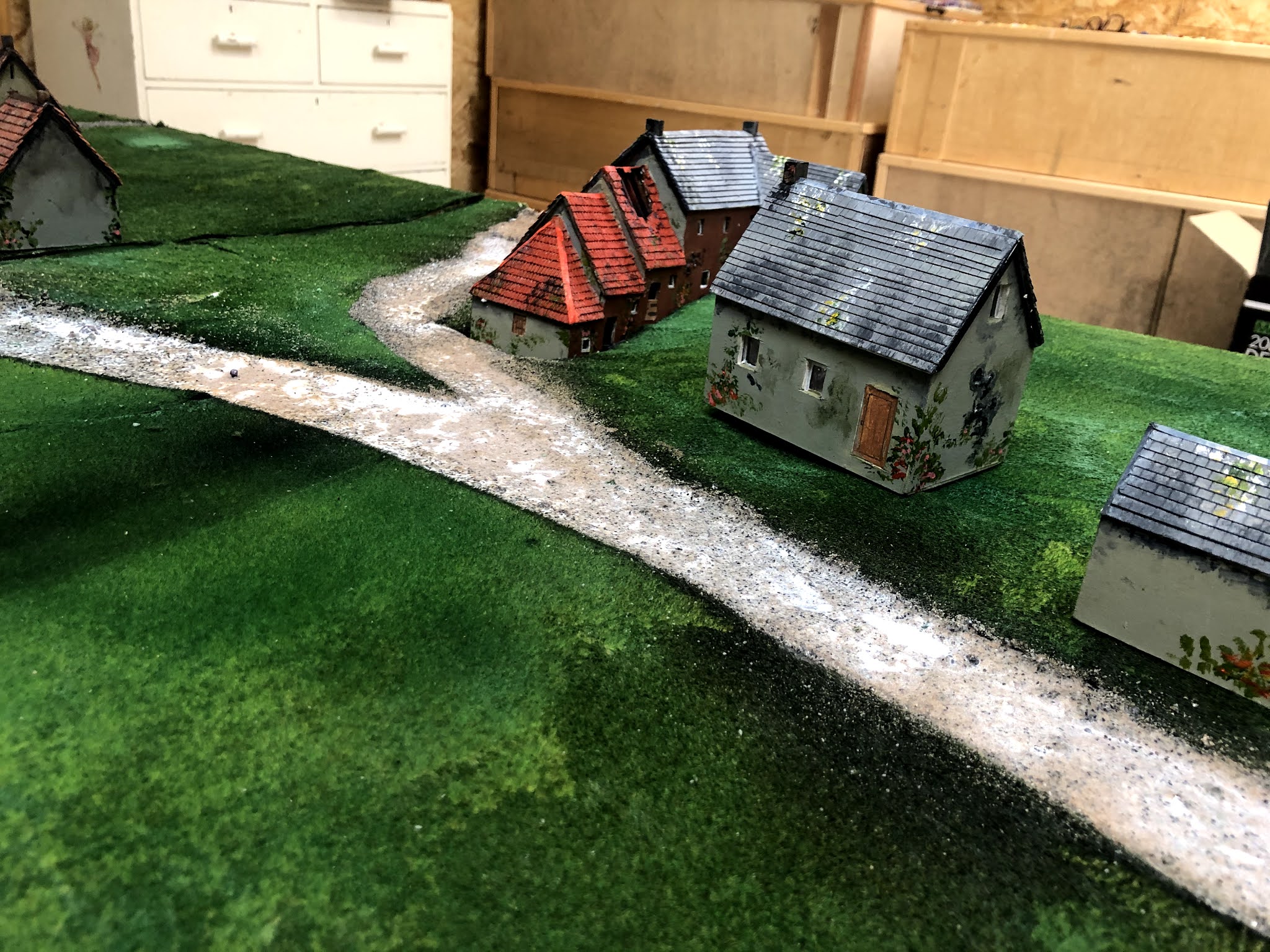


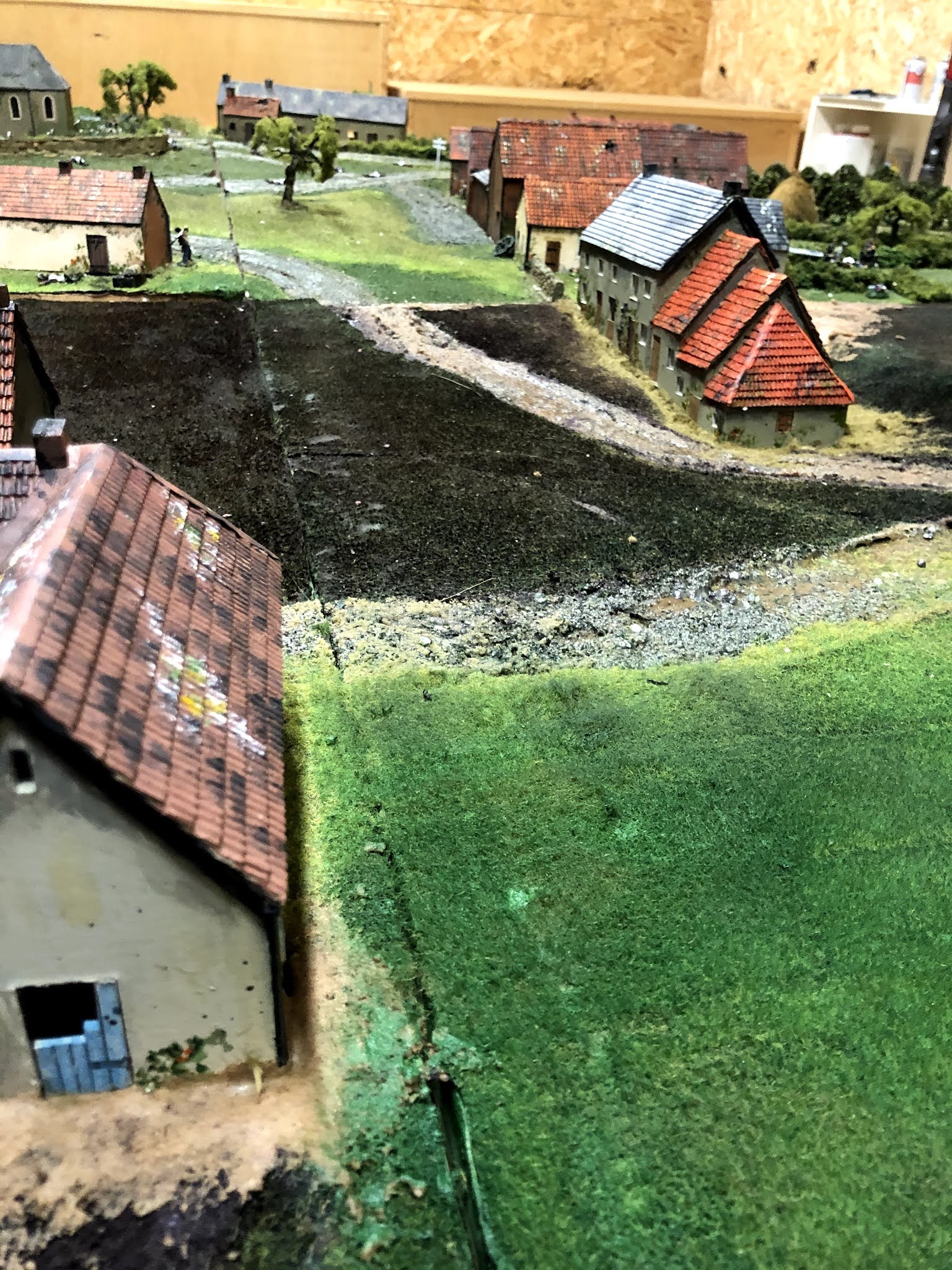


The ground has a deliberately dark surface which will be lightened and form the basis for back gardens

The road needs to be toned in.

This is the Presbytery, or in English, the Rectory.


The cadastral map showing the Presbytery

The Presbytery today. A roof window has been added.

The view up the hill to the church.


This should be able to absorb a few troops!


Siborne, from the west, looking east.

From the east looking west


The village today


And finally, some figures to go on the model - some of the Old and Young Guard that will garrison Plancenoit
Absolutely marvelous.
ReplyDeleteVery nice indeed I have shared your post here https://wargames-directory.com/forums/topic/urban-sprawl/
ReplyDeleteFeel free to join and share your work
Take care
Andy
Thanks Andy!
ReplyDeleteThis comment has been removed by a blog administrator.
ReplyDeleteThis comment has been removed by a blog administrator.
ReplyDelete