The Waterloo diorama project is now really getting going, but it's going to take a while, so as an interim step the plan is to show sections of the battle. I'm now turning my attention to Plancenoit.
The village of Plancenoit saw some of the most intense fighting at Waterloo. Partly because of the confused nature of the urban battle and partly because the British weren't involved, the struggle is less well known to the English speaking world than it should be. Historians have done much to correct this during the last 20 years but the battle in Plancenoit still presents fresher opportunities for study than the main fight to the north-west.
In 1815, Plancenoit was home to around 500 people, who fled when it became clear that battle was imminent. Part of the Nassau contingent spent the night of the 17th/18th in the village before withdrawing north to Papelotte. Plancenoit's houses were well built with garden walls and cobbled streets. This made the village easy to defend, although its natural properties could have been enhanced still further had Napoleon taken the trouble to fortify the buildings before the Prussian arrival.
But Napoleon believed that he had damaged Blucher sufficiently at Ligny for there to be no danger of a Prussian intervention and so he did not take this precaution. In Napoleon's defence, the French did not arrive en masse until the morning of the 18th, so time was limited and as Nassauers remained in the village until the early hours of Sunday morning this would clearly not have been possible until they had left.
Napoleon made other mistakes in Plancenoit. Even when he knew the Prussians were arriving from the East, he only drip fed troops onto his right flank and did not move decisively to take the initiative against the Prussians: the most obvious precaution would have been to push guns, light cavalry and engineers to block egress from the Bois de Paris further to the East.
Most of the houses in modern Plancenoit were built in the 20th Century - the village was exempt from the 1914 law protecting Belgian battlefields - perhaps the imminence of war in 1914 did not endear Germans to the Belgians so the village was not protected. But despite these changes, the village is laid out in much the same way as in 1815 and St Catherine's Church still dominates the central square. This area is now the village green.
 |
| The modern church |
The church was badly damaged in the fighting, which was particularly ferocious around the village centre. Parts of the cemetery wall date back to the time of the battle but the church was rebuilt in the Gothic Revival style in 1856.
So what then did the village and church look like in 1815? To my knowledge, there is only one contemporary picture of the church, sketched at a distance on about 20th June 1815:
 |
| The original church has a typical Walloon spire (almost a flèche), central nave and side chapels. The apse at the east end has three sides, just as today |
 |
Plancenoit from the heights of Rossomme by the same artist. The spire can just be seen
|
|
|
|
Another distant view of the church spire
|
The other obvious source is of course Siborne, but he did not map out the battlefield until some time after. The larger diorama is however an excellent source to work out the layout of the village and the relief.
|

Siborne's model gives the best bird's eye view of the layout of the village around the church and village green. The difficulty with Siborne is that his church does not show side chapels, only a central nave. My conclusion is that Siborne simplified many of his other buildings (for instance La Haie Sainte) and therefore the water colour is a better source.
Another good way of determining the look of the church in 1815 is to examine other local churches untouched by the Gothic revival:
 |
.

This picture shows Napoleon's carriage being hauled off as booty. In the background is Gemappes church, which looks very similar to the one at Plancenoit.
Modern photos may not show the original church but they do show the relief and the lay out of the village
|
 |

This view shows that the church sits on elevated ground. |
 |
Modern view showing the village in dead ground
Pictures of the battle show the nature of the intense urban conflict.
|

 |
| This is actually Ligny, but the sentiment is the same. |

 |
| Bringing all this together, I've produced a plan for my depiction of the centre of the village. |
If anyone has any other source material to inform my understanding, I'd much appreciate it.
Chris Dodson has kindly sent these very useful pictures:
 |
| The correlation with the Siborne model is very interesting. |
 |
| Thomas Mischak kindly spotted this one - the Plancenoit church spire can just be seen in the background. |
 |
| Actually Ligny, but a good impression of French and Prussian street fighting |
 |
| This is not Plancenoit, but the Prussians and Dutch meeting in Ohain. |
 |
| Church spire in the background |
 |
| Prussian memorial |
 |
| The village in the 19th Century looking north from the stream, and showing the rising ground |
 |
| The Craan map - map orientated south |
 |
| The other Craan map as a diagram - blown up and looking north - an interesting view of the village centre |
 |
| Google Earth - the road layout round the church has been updated |
 |
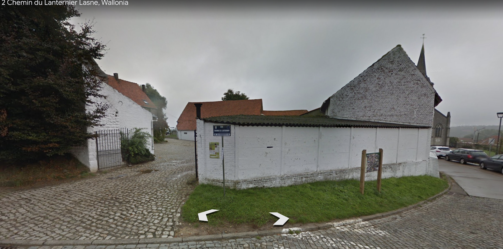
| Street View |